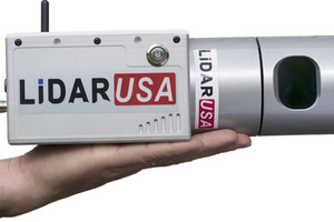
LiDAR USA
A small, aggressive team of pioneers in Geomatics searching for new,
innovative, and affordable solutions for the measurement sciences. They focus
on solutions for GIS, surveying, civil engineering, agriculture, forensics,
BIM, heritage mapping. All things 3D and beyond, both indoors and outdoors.
If you enjoy an enlightening conversation chat and a good laugh, then you
should not miss Jeff and Daniel Fagerman at the next convention.
NovAtel
A leading provider of precise global positioning system (GPS) and
augmentation components and sub-systems designed for rapid integration and
exceptional return on investment. NovAtel's complete line of precise
positioning engines, enclosures and antennas is developed to meet a wide
range of accuracy and cost requirements.
TerraTec
TerraTec’s areas of expertise are land surveying, aerial photography,
photogrammetric mapping and aerial data acquisition from fixed wing
aircraft and helicopters. Because of TerraTec’s competence in the use of
advanced technology they have developed effective production methods that
gives them a high level of proficiency allowing TerraTec to not only
serve their customers’ needs in Norway, but also throughout mapping
markets throughout the world.
Waypoint Products Group
NovAtel's Waypoint Products Group offers GPS/IMU post-processing software
packages including GrafNav, GrafNet and Inertial Explorer for a wide
variety of IMU's, including high-accuracy navigation grade to inexpensive
MEMS sensor types.